

The Best Places for Hiking in Australia
1 September 2026
· By the HiyaGuide team
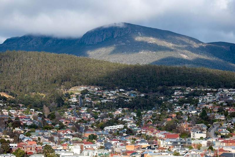
Photo by Mark Direen on Pexels
Hobart is Australia's best hiking base: kunanyi/Mt Wellington rises 1,271 m directly behind the city, and the Three Capes Track's sea cliffs are about 90 minutes away. Launceston is the practical gateway to the Overland Track, Alice Springs anchors the 223 km Larapinta Trail, Sydney has the Blue Mountains on its doorstep, Thredbo puts you under Mt Kosciuszko, Margaret River carries the Cape to Cape Track, and Darwin opens the Top End's waterfall country. Seasons vary wildly — match the base to the month.
How the seven compare
| Base | Signature walking | Character | Best months |
|---|---|---|---|
| Hobart | kunanyi/Mt Wellington, Three Capes Track | Alpine summit and sea cliffs from a capital city | November to April |
| Launceston | Overland Track, Cradle Mountain | Glacial highlands and Tasmania's most famous trek | October to May |
| Alice Springs | Larapinta Trail | Red-rock ridgelines and desert gorges | June to August |
| Sydney | Blue Mountains walks | Sandstone canyons and clifftop passes | March to May, September to November |
| Thredbo | Kosciuszko Summit Walk, Main Range | Australia's highest alpine terrain | December to March |
| Margaret River | Cape to Cape Track | Coastal track between two lighthouses | March to May, September to November |
| Darwin | Litchfield and Kakadu walks | Monsoon forest, escarpments, waterfalls | May to October |
How we chose this list
"Best" here means the strength of the hiking reachable from a base a traveller would actually stay in — the standing of its named trails, the variety within day-trip range, and workable logistics. The list is limited to the destinations HiyaGuide covers, so trail-only regions without a real town behind them (the Flinders Ranges, remote Kimberley gorges) sit outside it. Ranking came from researching each area's walks against park-service sources: Tasmania leads because it genuinely holds Australia's most celebrated tracks.
What a guide unlocks on Australian trails
Australia's hiking regions punish different mistakes. Tasmanian alpine weather can turn a warm morning into sleet by lunch; the Red Centre's risk is heat and water planning; the Top End's is flooding and croc-safe swimming judgement. A local guide carries knowledge you can't import — which side of kunanyi is sheltered today, how much water a Larapinta section really takes in June, which Litchfield pool is open this week — and guided treks solve the hard logistics: Overland Track transport, quota-season planning, food drops. On remote sections a guide is also the margin of safety two days from a road. Graded day walks near the cities are fine self-guided if you hike regularly; for the multi-day tracks and the climate extremes, going guided is the honest recommendation, not a luxury.
Hobart: a genuine mountain behind a capital city
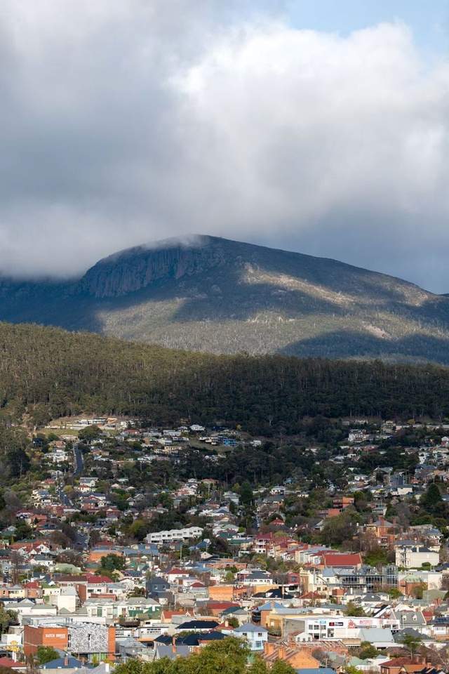
No other Australian capital has anything like kunanyi/Mt Wellington: a 1,271 m summit rising straight behind the city, laced with tracks from forest loops at The Springs to the Zig Zag ascent and the Organ Pipes Track beneath its dolerite cliffs. Snow is possible near the top well outside winter — conditions at sea level tell you nothing about the summit.
Hobart is also the staging point for the Three Capes Track, a 46 km, four-day cabin-based walk along some of the highest sea cliffs in the Southern Hemisphere, starting from Port Arthur about 90 minutes' drive away. It books out well ahead in summer. Plan the trip from Hobart, and see the national picture at the hiking hub.
Launceston: the gateway to the Overland Track
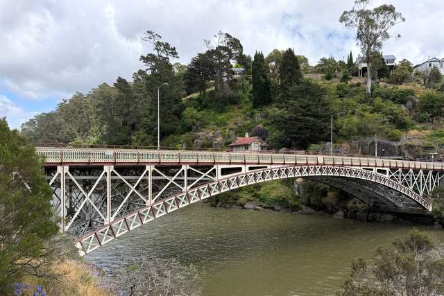
Launceston earns its place for one reason above all: Cradle Mountain is around 90 minutes away, closer than from any other city, making it the natural hub for the Overland Track — Tasmania's 65 km, roughly six-day traverse of glacial valleys, alpine moor and ancient rainforest. From 1 October to 31 May the track runs on a booked quota and must be walked north to south from Cradle Mountain, so peak-summer departures sell out months ahead.
Day walkers do just as well: the Dove Lake circuit delivers the Cradle Mountain skyline without the pack weight. More at Launceston.
Alice Springs: the Larapinta Trail and the Red Centre
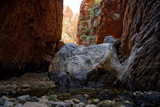
Alice Springs is the trailhead town for the Larapinta Trail, which runs 223 km along the spine of Tjoritja/West MacDonnell National Park in 12 sections, from the Alice Springs Telegraph Station to the summit of Mt Sonder. Sections work as standalone day and overnight walks — Simpsons Gap, Ellery Creek Big Hole and Ormiston Gorge are all reachable highlights without committing to two weeks.
The season is non-negotiable: June to August is the reliable window, shoulder months workable on early starts. Summer heat makes long desert walks genuinely dangerous. Details at Alice Springs.
Sydney: the Blue Mountains on a day-trip leash

Sydney makes the list because the World Heritage-listed Blue Mountains sit about 90 minutes away by road, or two hours by train — no other entry pairs serious sandstone walking with a major international airport this neatly. The Grand Canyon Track near Blackheath drops through a fern-filled slot canyon on a 6.3 km loop, and the National Pass at Wentworth Falls follows a ledge cut into the cliff face past the falls, with the hand-built Grand Stairway as its centrepiece.
Closer in, the harbour and coastal paths give an easy walking fix; autumn and spring bring the kindest temperatures on exposed clifftops. More at Sydney.
Thredbo: the roof of Australia
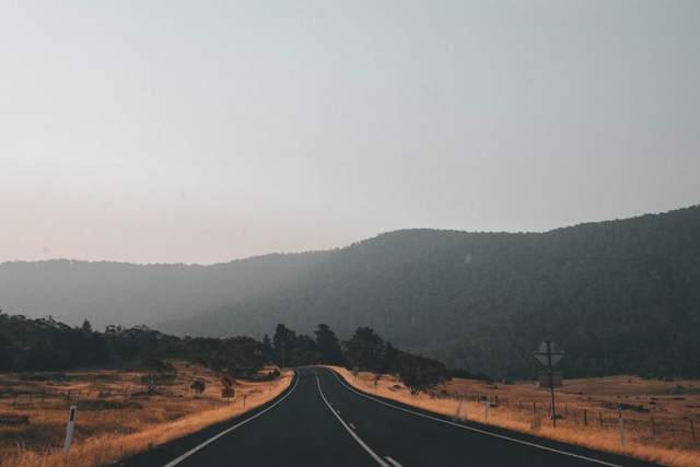
Thredbo is the most direct route to the top of the country: the Kosciuszko Summit Walk runs 13 km return from the top of the village chairlift to the 2,228 m summit of Mt Kosciuszko, mostly on raised walkway that protects the fragile alpine herbfields. Stronger walkers should look at the Main Range walk, a bigger loop past glacial lakes and across the high country that ranks with Australia's finest alpine days.
The window is short — December to March, between snowmelt and the first autumn storms — and weather above the treeline changes fast even in January. More at Thredbo.
Margaret River: the Cape to Cape Track
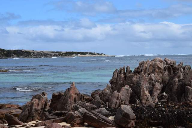
The Cape to Cape Track runs 135 km between the lighthouses at Cape Naturaliste and Cape Leeuwin, through Leeuwin-Naturaliste National Park's coastal heath, karri forest and cliff-top ocean views — regularly rated among Australia's top multi-day walks. Its great virtue is flexibility: walk the lot in five to nine days, or pick off half-day sections from a Margaret River base.
Autumn and spring are the sweet spots — summer is hot and shadeless on the exposed stretches, while spring adds wildflowers and passing whales. More at Margaret River.
Darwin: waterfalls and escarpment country
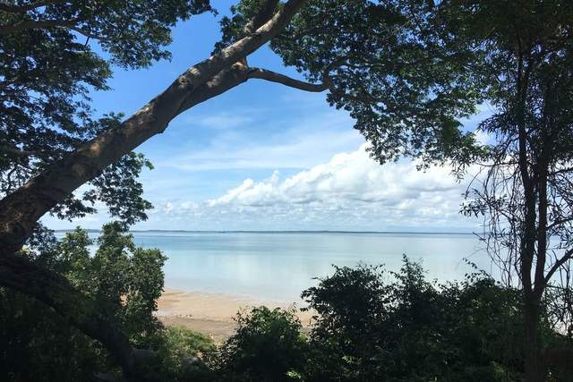
Darwin's hiking is unlike anything else on this list: monsoon forest, sandstone escarpments and swimmable plunge pools. Litchfield National Park, about 90 minutes south, packs Florence Falls, Wangi Falls and Tolmer Falls into an easy day, with the 39 km Tabletop Track for a multi-day loop; Kakadu's escarpment walks lie further east.
The dry season, May to October, is the whole game — wet-season flooding closes tracks and swimming holes, and which pools are open changes week to week, which is exactly the sort of current knowledge local guides trade in. More at Darwin.
A one-week itinerary
Tasmania's density makes it the efficient week, finishing through Sydney's sandstone on the way home:
| Day | Base | The plan |
|---|---|---|
| 1 | Hobart | Forest tracks from The Springs to stretch the legs, then the city's food rewards |
| 2 | Hobart | The kunanyi summit via the Zig Zag and Organ Pipes tracks — guided if the forecast is marginal |
| 3 | Hobart | Tasman Peninsula day: sea-cliff lookouts and a taste of Three Capes country |
| 4 | Launceston | Drive north via the central highlands; Cataract Gorge in the evening |
| 5 | Launceston | Cradle Mountain day — the Dove Lake circuit, higher with a guide if conditions allow |
| 6 | Sydney | Fly out of Launceston; Blue Mountains afternoon or an early night |
| 7 | Sydney | Grand Canyon Track or the National Pass, with a buffer margin before the flight home |
Book Overland Track and Three Capes departures months ahead if either headline walk is the goal — this week tastes both regions without needing a quota spot.
Frequently asked questions
What is the best time of year for hiking in Australia?
There is no single answer — the regions run on opposite calendars. Tasmania and the Kosciuszko high country are summer destinations, roughly November to April. The Red Centre inverts that: June to August is the safe window around Alice Springs. Darwin's Top End works May to October in the dry season, while Sydney and Margaret River are at their best in autumn and spring.
Do you need a guide for hiking in Australia?
For graded day walks near the cities — the Blue Mountains classics, lower kunanyi, Cape to Cape sections — experienced hikers are fine self-guided. A guide earns their keep on the multi-day tracks and in the extreme climates: Tasmanian alpine weather, Larapinta water logistics and Top End seasonal hazards all reward local judgement, and guided treks remove the transport, food and booking load that makes remote walks hard to organise solo.
Do Australian hikes need permits or advance booking?
The famous multi-day tracks do. The Overland Track runs on a booked daily quota from 1 October to 31 May, walked north to south in that season; the Three Capes Track is booking-only and sells out ahead in summer. Most day walks here need no permit, though several states charge park entry fees — check the relevant park service before travelling.
Which base suits beginners best?
Sydney, comfortably. The Blue Mountains offer well-signed, well-graded tracks 90 minutes from an international airport, with train access and villages at the trailheads. Thredbo's summit walk is also beginner-friendly in good summer weather thanks to the chairlift start and raised walkway. Save the Larapinta and the Overland for when you have multi-day experience — or do them guided, as many first-timers do.
Is the Overland Track or the Larapinta Trail harder?
The Larapinta is the bigger undertaking: 223 km against 65 km, remoter resupply, and desert water planning the Tasmanian track never demands. The Overland's difficulty is weather — exposed alpine terrain where snow can fall in any month. Most walkers find the Overland the better first trek, and section-walking the Larapinta a smarter introduction than the full traverse.